
¿QUIÉNES SOMOS?
El Instituto Oceanográfico y Antártico de la Armada (INOCAR) es el organismo de carácter técnico y científico de la Armada del Ecuador. Somos la autoridad nacional encargada de planificar, dirigir, coordinar y ejecutar las actividades relacionadas con la hidrografía, cartografía náutica, oceanografía, meteorología marítima y la señalización marítima en los espacios acuáticos jurisdiccionales.
Además, el INOCAR es el ente responsable de administrar y ejecutar la política nacional orientada a la proyección, investigación y presencia del Ecuador en el continente Antártico. Nuestra labor fundamental es garantizar la seguridad de la navegación, apoyar el desarrollo marítimo y científico del país, y proveer información vital para la prevención y mitigación de riesgos de origen natural, como tsunamis y el fenómeno de El Niño, salvaguardando así la vida humana en el mar y en las zonas costeras.
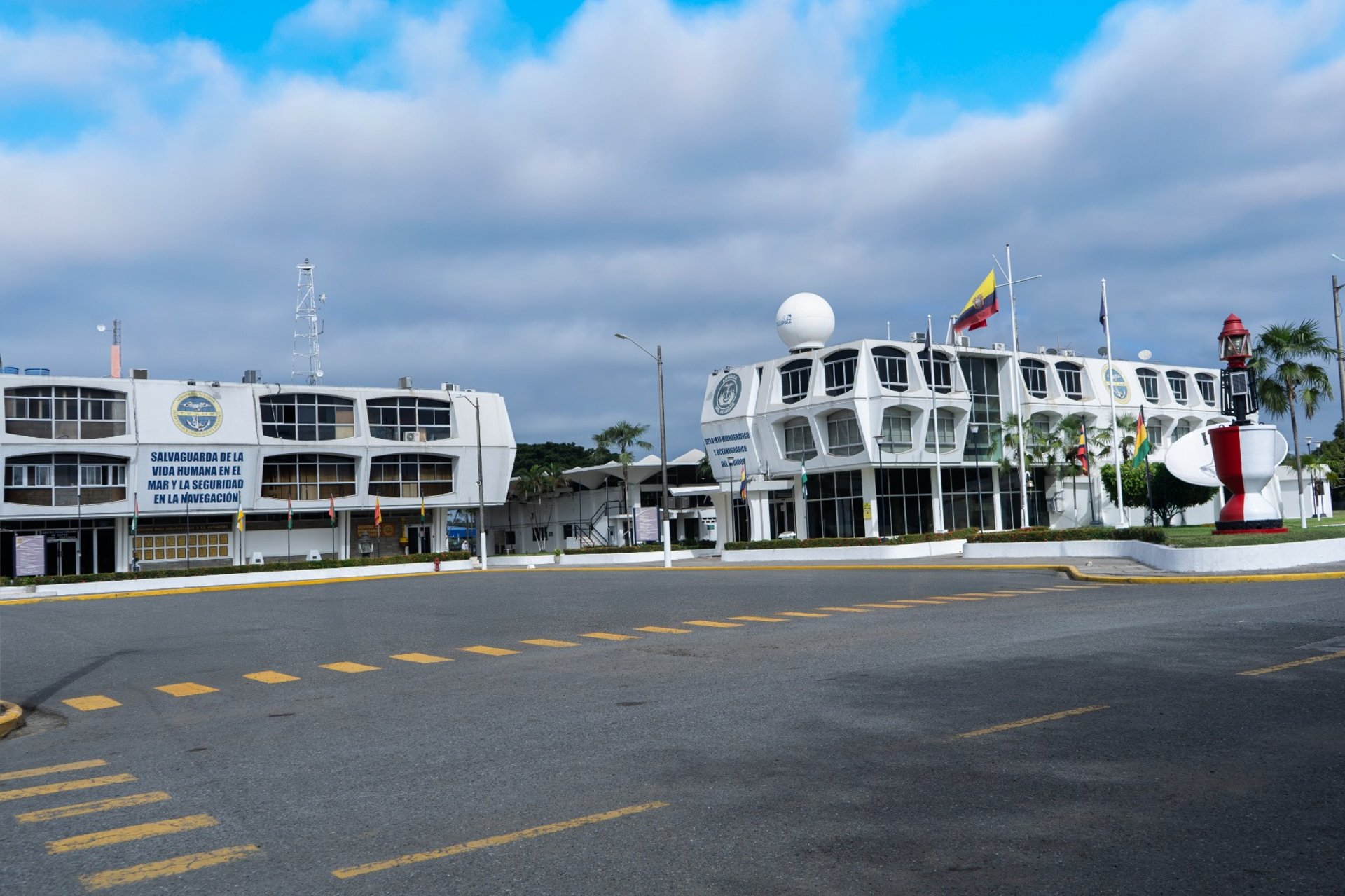
Nuestra Historia
Desde nuestros inicios, hemos dedicado décadas a la investigación y conservación del océano, combinando ciencia rigurosa con tecnología avanzada.


150+
15
Confianza Global
Desde 1985
Our Services
Providing precise oceanographic data and timely maritime updates for safety and research.
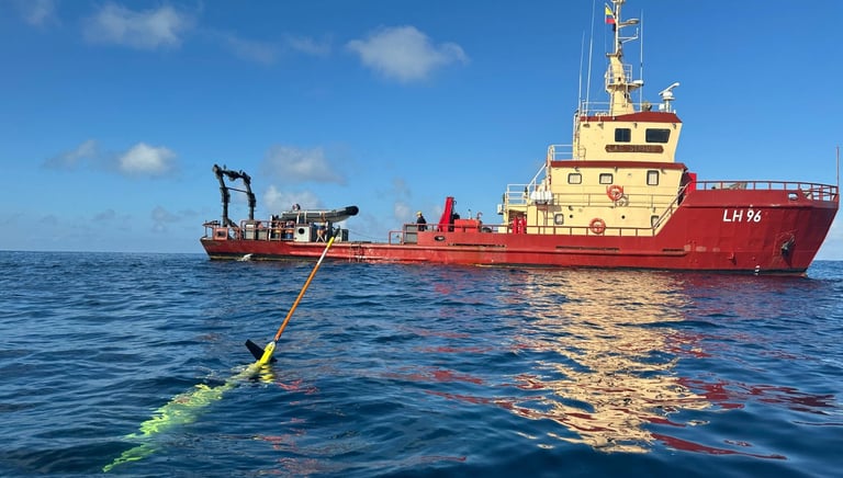
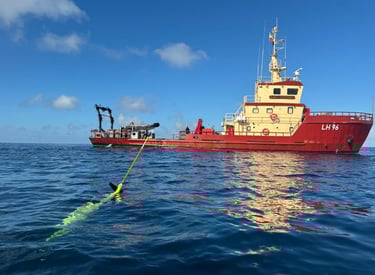
Hydrographic Surveys
Detailed mapping of seabeds to support navigation and marine construction projects.
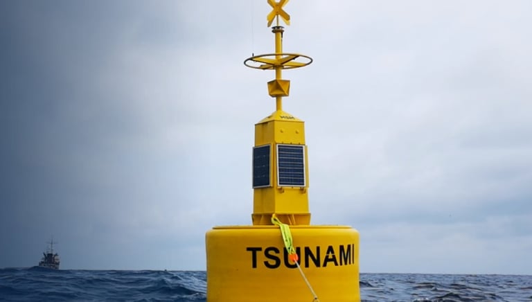
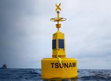
ALERTAS DE TSUNAMIS
Real-time warnings on oceanic and atmospheric conditions affecting maritime operations.
Our Work
Showcasing key projects shaping oceanic research.


Hydrographic Services
Accurate mapping of underwater terrain.


Climate Alerts
Timely warnings for maritime safety.
Our Ocean Mission
Dedicated to delivering precise maritime data and insights for safer seas.


Who We Are
Experts committed to advancing oceanographic knowledge through clean, clear design.
FAQs
What is hydrography?
Hydrography maps underwater features for safe navigation.
How are climate alerts issued?
Alerts come from monitoring ocean and atmospheric changes in real time.
Where can I find tide forecasts?
Tide forecasts are available on our website’s dedicated section, updated daily with precise timings and heights.
Our data supports maritime safety and environmental research.
Who uses your services?
Is the data publicly accessible?
Yes, most data is free to access for public and professional use.
Contact Us


Reach out for precise maritime data or to discuss oceanographic insights.